TAK
Team Awareness Kit
TAK is a geospatial collaboration ecosystem that connects people, sensors, and systems on a common operating picture (COP) - meaning everyone sees the same real-time map and situational data
Common Operating Picture
Ensures that all participants in any mission, whether they are performing as a single or multi agency, know where their members and assets are. Everything can be tracked i.e. vehicles, drones, ballistic protection and more.
Team Location Tracking
Your team’s safety depends on having accurate, real-time information about where they are.
First Responders and Private Security
TAK enables seamless data sharing across agencies that have adopted it, including local institutions and private security partners. Firefighters and law enforcement can receive critical incident information before they arrive on scene.
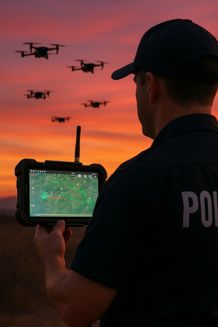
Drones and TAK
UAS video feeds, positions, and metadata can be shared instantly with other TAK users on the network.
TAK is a Free GOTS (Government Off the Shelf) application.
TAK is being rapidly adopted by First Responder Agencies as well as Commercial and Civilian security teams